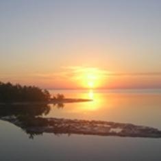
Alligator Bay Fishing Spot
- Last Modified By: vinny60 on 09/07/09 11:35 AM
- Ask about Alligator Bay in our Fishing Forums
Photos
Comments
-
Have you fished at Alligator Bay? Be the first to comment on this fishing spot.
Alligator Bay Description
There is only one Everglades in the World. Everglades National Park is the largest subtropical wilderness in the United States. The area boasts rare and endangered species, such as the American crocodile, Florida panther, and West Indian manatee. It has been designated an International Biosphere Reserve, a World Heritage Site, and a Wetland of International Importance, in recognition of its significance to all the people of the world. The open waters of Florida Bay and the Ten Thousand Islands represent roughly one-third of the park's total acreage. Boats are the perfect way to explore some of the more remote areas of the park. One of the best ways to experience the Everglades is to get out into it for an extended visit. With 156 miles (251 km) of canoe/kayak and walking trails and 47 designated wilderness campsites, opportunities for solitude are abundant. Most of the wilderness campsites are only accessible by boat. Safely exploring a wilderness by water requires careful preparation and planning. Permits are also required. Look over our Wilderness Trip Planner to learn more and help you plan. The Everglades is mild and pleasant from December through April, though rare cold fronts may create near freezing conditions. Average temperatures in winter - High 77°F (25°C); Low 53°F (12°C). Summers are hot and humid, with temperatures around 90°F (32°C) and humidity over 90%. Afternoon thunderstorms are common and mosquitoes are abundant. The Atlantic Hurricane Season is June-November. Tropical storms or hurricanes may affect the area. Average Rainfall: 60 inches (152 cm) per year. The rainy season is June through October (mosquito season coincides with the rainy season).