Upper Sugarloaf Sound Fishing Spot
- Last Modified By: vinny60 on 09/23/09 06:20 PM
- Ask about Upper Sugarloaf Sound in our Fishing Forums
Photos
Fish Species
Comments
-
Have you fished at Upper Sugarloaf Sound? Be the first to comment on this fishing spot.
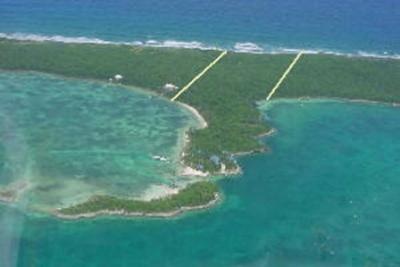
Upper Sugarloaf Sound Description
Sugarloaf Key is one of the larger islands in the lower Florida Keys, about 15 miles east of Key West. It is located between Park Key and Cudjoe Key. U.S. Route 1 (or the Overseas Highway) crosses the key at approximately mile markers 19--20.5. Its earlier names were Glen Island and Perkey. Due to its loop shape it is sometimes referred to as two separate Keys; Sugarloaf Key and Lower Sugarloaf Key, separated by Upper Sugarloaf Sound and Park Key. It is thought to have been named Sugarloaf because either an Indian mound there on the east side of (upper) Sugarloaf Key, north of the present highway was said to look like an old-fashioned loaf of sugar, or for the sugarloaf pineapples that were once grown in the area. It is the upper portion of one large island. The island is "U"-shaped, with Upper Sugarloaf Sound and Park Key in the center. Although larger in area than Lower Sugarloaf Key, it is less densely populated. Lazy Lakes Camping Resort is a very popular campground among people in Summerland Key. Lazy Lakes Camping Resort gets a common amount of annual rainfall; during September this area sees the most rain while March is typically the driest month. Upper Sugarloaf Sound is relatively close to Lazy Lakes Camping Resort; a great beach nearby is Sugarloaf Beach.